


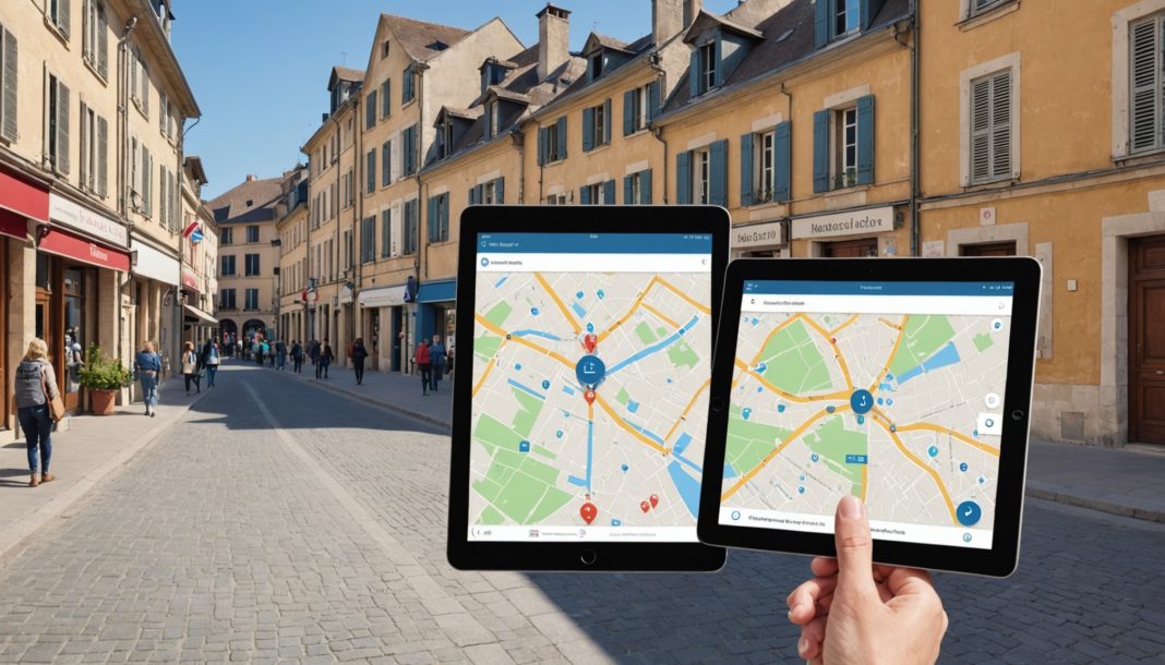
Finding the right office for an administrative task remains, in many parts of France, a genuine obstacle course. The government wants to fix that with a new map of local public services, a digital tool designed to give people a clear view of everything available near where they live, with a nationwide rollout planned by the end of summer 2026.
A tool led by the DITP and the IGN
The project is led by the Interministerial Directorate for Public Transformation (DITP), in partnership with France's National Institute of Geographic and Forest Information (IGN). The stated goal is to map, on a dynamic chart, every service point accessible to the public, whether that means France Services centers, post offices, administrative branch offices, healthcare professionals, or digital access points.
Unlike a simple directory, the tool cross-references several types of data: the location of facilities, the demographic makeup of the area, and user traffic flows. The idea is to anticipate needs rather than notice them after the fact, once a service has already vanished from a local area.
Three test departments with very different profiles
Before being rolled out across the entire country, the map was first piloted in three departments chosen for how different their situations are:
- The Nord, a dense, heavily urbanized area
- The Indre, representative of rural areas facing population decline
- The Hautes-Alpes, a mountain department with its own specific access challenges
This choice makes it possible to test how reliable the tool is against very different realities: dense neighborhoods, isolated countryside, and mountain valleys don't have the same needs when it comes to local services. Based on lessons learned from this pilot, the government has confirmed a nationwide rollout to all French departments by the end of summer 2026.
Who is this map for?
First and foremost, prefects and local elected officials will be able to use this decision-support tool to spot areas of strain, meaning sectors where the supply of public services no longer keeps pace with population changes. The goal is to better plan future locations and keep certain local areas from ending up too far from any service point.
But the initiative is also ultimately meant to make life simpler for residents themselves, by giving them a clear view of the services available near them, following the same logic as the France Services network, which already brings most everyday administrative tasks within reach of more than 99% of the population.
Frequently Asked Questions
What is the map of local public services?
It's a digital tool led by the DITP and the IGN that maps, on a dynamic chart, all the service points and public services accessible to the population, making it easier to visualize how they're distributed across the country.
In which departments was the tool tested?
It was piloted in the Nord, Indre, and Hautes-Alpes, three departments with very different profiles (dense urban, rural, and mountain), ahead of its planned nationwide rollout by the end of summer 2026.
Who will be able to use this map?
It's primarily designed as a decision-support tool for prefects and local elected officials, but it's also ultimately meant to help residents better identify the public services available near them.
For more on this topic, check out our National News, Law and Justice, and Jobs and Training sections.
Sources
This article was written with the help of artificial intelligence. Editorial policy

